
![Item #49636 "Mining Regions of California" [as published in] Leavitt's FARMER'S ALMANACK, And Miscellaneous Year Book, for the Year of Our Lord 1853 ... Containing a New Map of California. California History, George W. - Engraver. Leavitt Boynton, Dudley - Publisher, fl. 1831 - 1884, 1772 - 1851.](https://tavbooks.cdn.bibliopolis.com/pictures/49636.jpg?width=768&height=1000&fit=bounds&auto=webp&v=1622591271)
!["Mining Regions of California" [as published in] Leavitt's FARMER'S ALMANACK, And Miscellaneous Year Book, for the Year of Our Lord 1853 ... Containing a New Map of California.](https://tavbooks.cdn.bibliopolis.com/pictures/49636_1.jpg?auto=webp&v=1622591271)
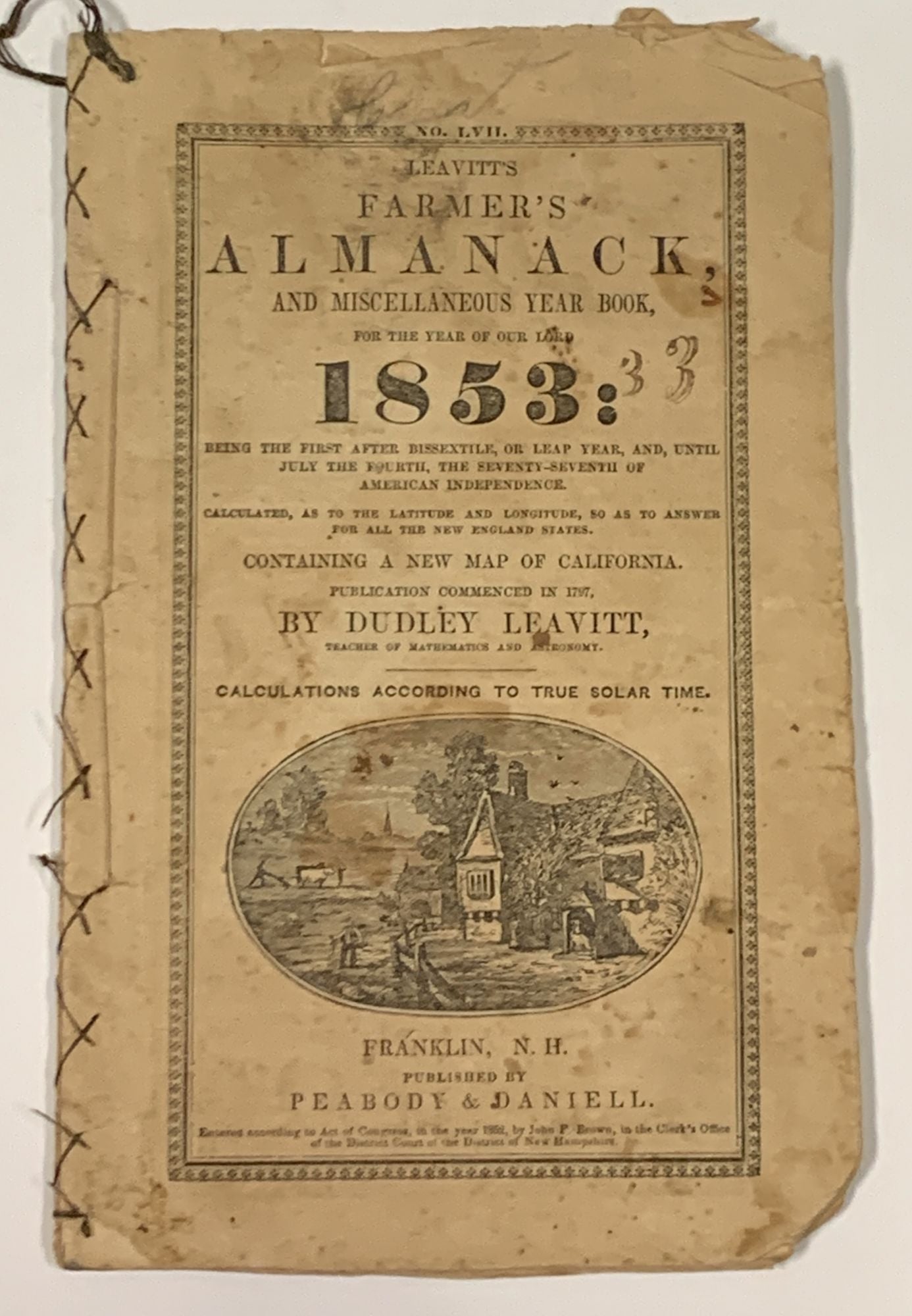
"Mining Regions of California" [as published in] Leavitt's FARMER'S ALMANACK, And Miscellaneous Year Book, for the Year of Our Lord 1853 ... Containing a New Map of California.
Franklin, N.H. Published by Peabody & Daniell, (1852). 1st printing of this issue (Wheat, Maps of the Gold Rush, 212). Cf Drake 4698, for the 1797 first edition. 48 pp, including wrappers, untrimmed. CA descriptive text p. 39, providing details on local gold rush municipalities: San Francisco ["principal port of entry"], Sacramento City ["near the celebrated Sutter's Fort, where the first discoveries of gold in California were made", Stockton ["third city of note in the state ... it is the great depot for all the southern mines"], Vallejo ["capital of the state"], Benicia ["navy station and arsenal here"], San Jose ["a very beautiful and desirable place of residence"], Mayrsville ["a place of growing importance"] & Mariposa City ["it was near this place that the first vein mine was opened and machinery put up for crushing the ore."]. Front wrapper with pastoral oval woodcut. Other cuts throughout text. Map, p. 38, depicting San Luis Obispo to the south, to Shasta in the north; the CA coast [with San Francisco in the center] to the west, and east to Calveras [42.5W from Washington]. 8vo. 7-3/4" x 5". Printed self-wrappers, stitched (by owner?), with hanging cord to top left corner of text. Publisher advert to rear wrapper. Now housed in an archival mylar sleeve. Expected age-toning, extremity wear & foxing. Trimmed lower corner of text-block. Overall, a respectable, all-original VG copy of this rare survivor. Item #49636
Leavitt begain publishing his almanack in 1797, and in this issue's introductory remarks, he states "Within a few past years the tide of emigration has been so great from the New England States to the shores of the Pacific, that at the present time there is scarcely a family in our midst but what is represented by some one or more of its members or relatives in the golden region. We have judged it not inappropriate to insert in this number of the Almanac a new, correct and reliable map of California, drawn and engraved expressly for this work, showing the principal cities and towns, distances between which may be found by the scale on the map, and trust it may be of service to many."
A map infrequently seen on the commercial market, with the last auction appearance [per ABPC] coming in 1996, with RBH recording just one prior occurence: 1959.
Price: $950.00