
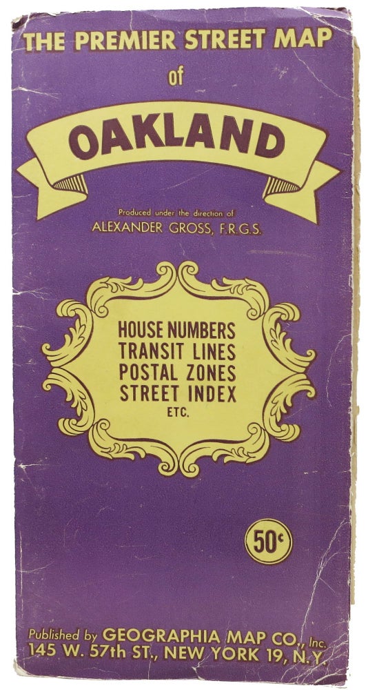
The PREMIER STREET MAP Of OAKLAND And Vicinity, Featuring Transit Lines and House Numbers.
New York: Geographia Map Co. Ca 1940s. Single sheet, printed in colors, recto only, folded into 27 panels. Unfolded: 27" x 40-1/8". Folded: 9-1/2" x 7/8". Housed in publisher purple & yellow paper portfolio. General wear to portfolio. Map with tears along folds, closed tear in index, still Very Good. Item #47244
Map shows postal zones, main auto routes, railroads, and motor coach and street railway lines. Also shows El Cerrito, Albany, Berkeley, Emeryville, Alameda, Piedmont and San Leandro. Bottom 9 panels shows street indexes with postal zone numbers, with inset map "50 miles about Oakland" to right above index.
OCLC shows 5 holding institutions, with publication dates from 1937 - 1949.
Price: $75.00