
ANDREW'S NEW TRAVELLING MAP, Of ENGLAND And WALES, from Actual Surveys, Exhibiting all the Turnpike and Principle Cross Roads with the Distances from Town to Town according to the Mile Stones & other exact Admensurations Rivers, Roman Stations with the Coast of France from Ostende to Brest and La Rochelle.
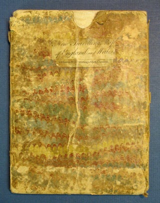
London: John Andrews and J. Harris, 1781. 1 sheet, folded in 20 panels. Folded: 19.7 cm x 14.7 cm. Unfolded: 80 cm x 72 cm. Linenbacked & hand-colored, housed in the original marbled paper slipcase, with printed paper title label to one side. While many of Andrews' cartographic publications are..... More