
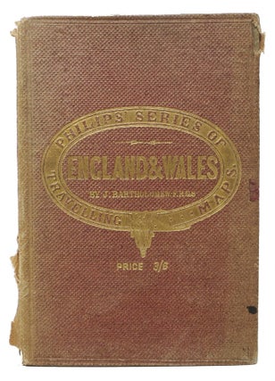
ENGLAND & WALES. Philips' Series of Travelling Maps.; Price 3/6.
London & Liverpool: George Philip & Son, 32, Fleet Street, (n. d.). Ca mid-1880s. Colored map: dissected and mounted on muslin, 20 panel, 26" x 221-1/2", displaying 56°N --> 50°N; 5°W --> 1°E. Scale: 1 degree = 69.15 English miles. Inset of Scily Islands. Case: 6-3/4" x 4-5/8". Purple cloth..... More