
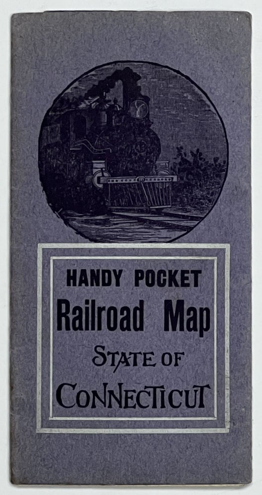
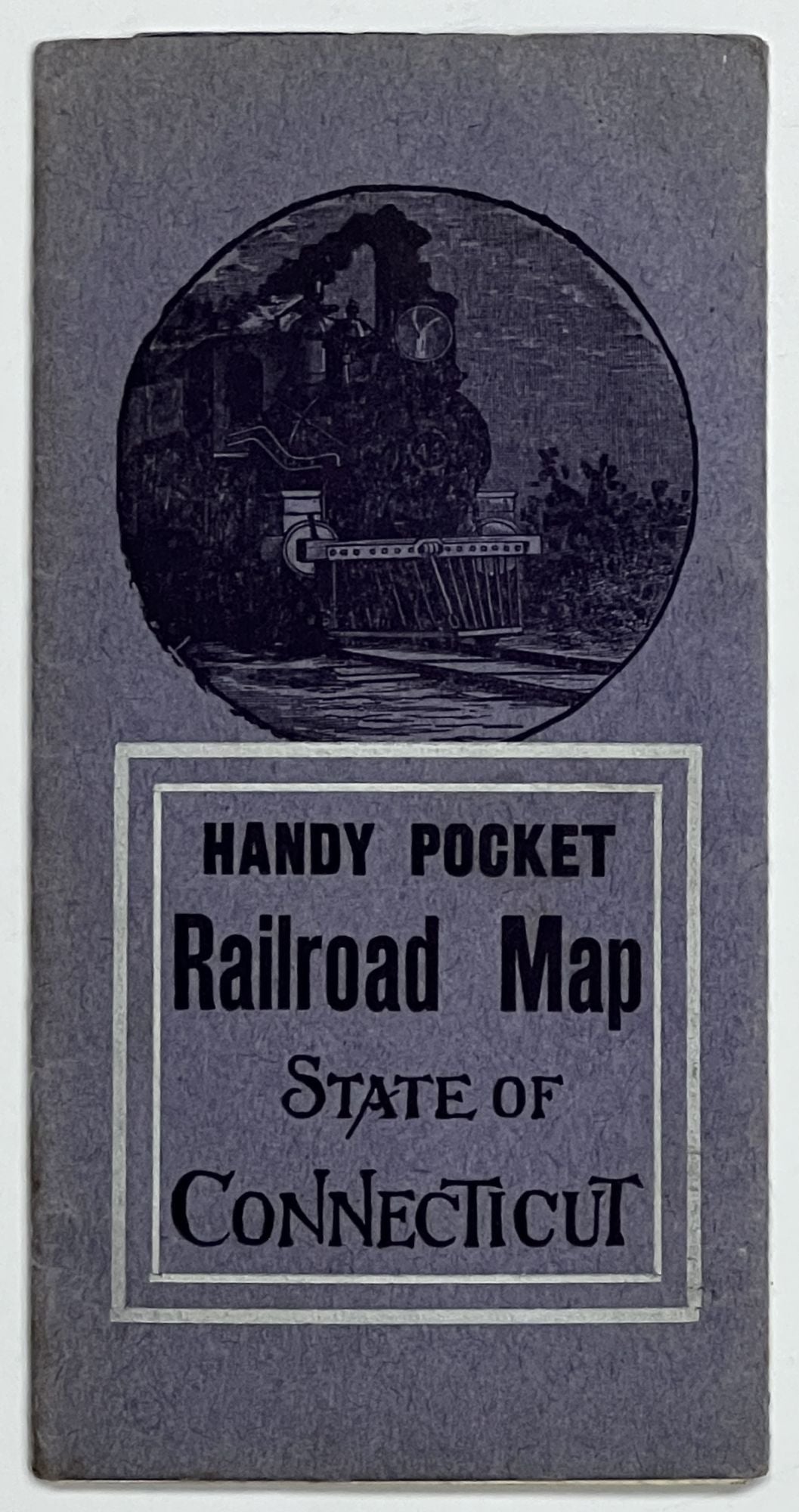
HANDY POCKET RAILROAD MAP. State of Connecticut.
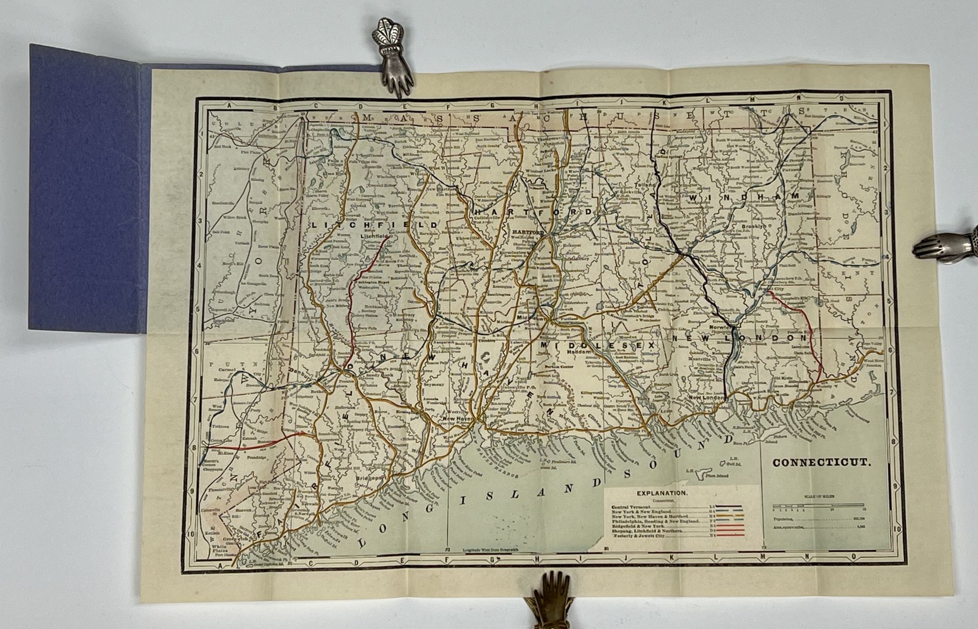
(n. p.): [Arcade Hotel], (n. d.). Ca. Early 20th century (pre WWI). Blue brochure-like wrappers, map single-sheet, tipped onto covers inside. 1 folding map, printed in blue, white and black, with red, yellow, blue and purple route lines outlined. Engraving of a train to front of wrapper. Wrappers: 6-1/8" x 3-1/8". Map: (oblong format) 12" x 18". Blue paper wrappers printed with navy blue and silver ink. Map tipped in to inside edge. Now housed in an archival mylar sleeve. Modest wear to wrapper (light sunning & rubbing). Map lightly age-toned. A VG - VG+ example. Item #40569
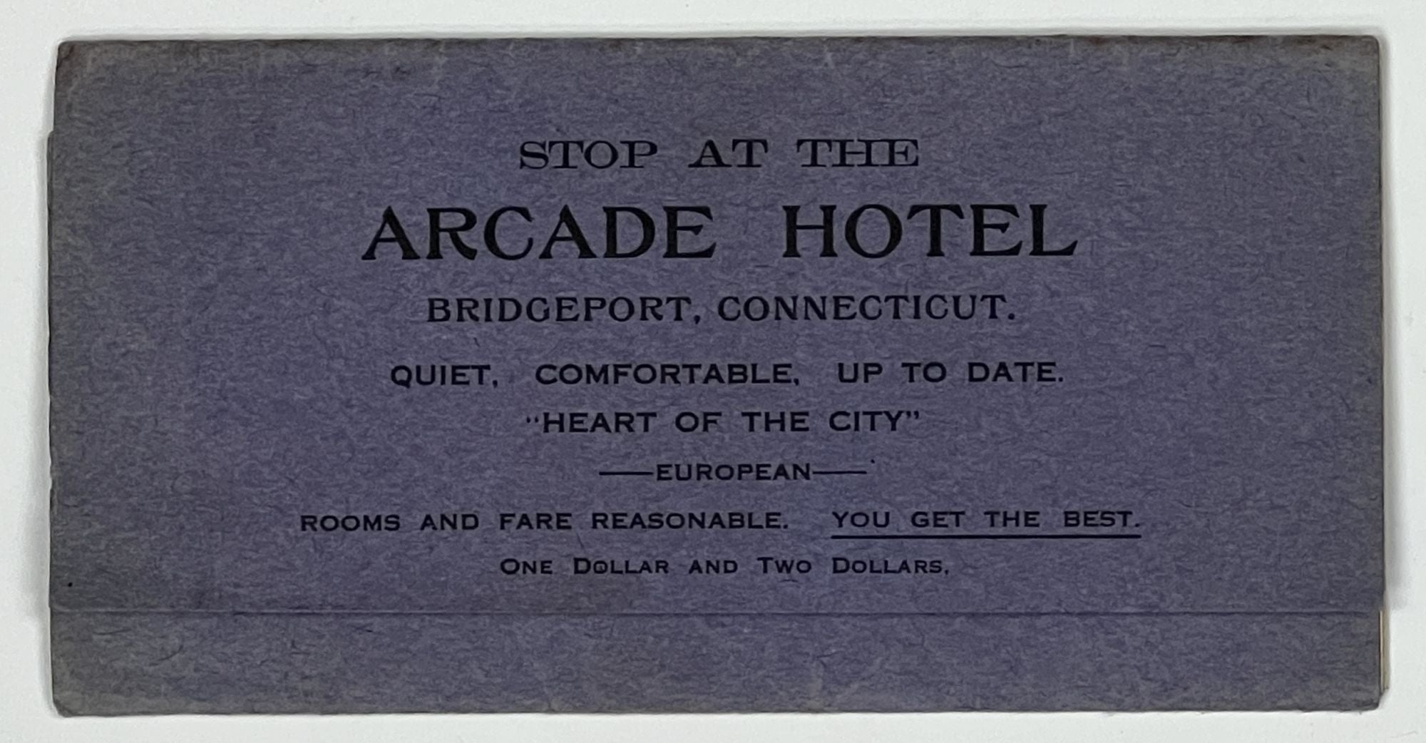
Advert to wrapper flap [presumed publisher]: "Stop at the Arcade Hotel, Bridgeport Connecticut. Quiet, Comfortable, Up to Date, 'Heart of the City', European. Rooms and Fare Reasonable. You Get the Best".
No artist is noted on the map. Contains detailed train routes across the state, including: Central Vermont; New York & New England; New York, New Haven & Hartford; Philadelphia, Reading & New England; Ridgefield & New York; Shepaug, Litchfield & Northern; and Westerly & Jewett City.
At the time of cataloguing, we find no holdings listed on OCLC.
Rare.
Price: $125.00