
Tavistock Books is on vacation from April 13, 2024 to April 25, 2024. From Saturday the 13th of April, through Thursday, the 25th of April, I will on holiday. Orders placed during that period will be promptly addressed after my return. Thank you for your patience & understanding.
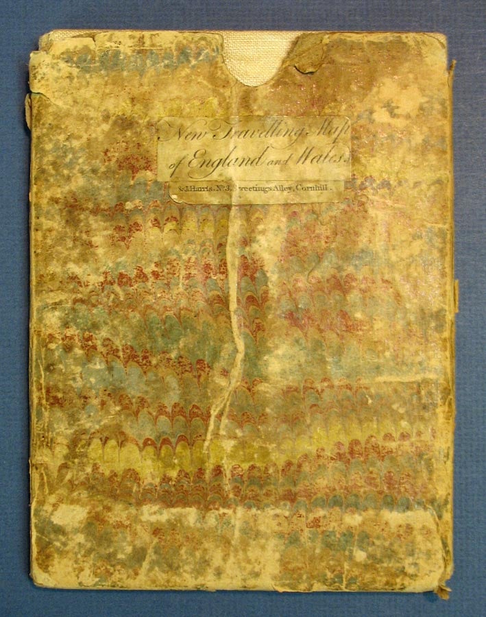
ANDREW'S NEW TRAVELLING MAP, Of ENGLAND And WALES, from Actual Surveys, Exhibiting all the Turnpike and Principle Cross Roads with the Distances from Town to Town according to the Mile Stones & other exact Admensurations Rivers, Roman Stations with the Coast of France from Ostende to Brest and La Rochelle.
London: John Andrews and J. Harris, 1781. 1 sheet, folded in 20 panels. Folded: 19.7 cm x 14.7 cm. Unfolded: 80 cm x 72 cm. Linenbacked & hand-colored, housed in the original marbled paper slipcase, with printed paper title label to one side. Map: some occasional fraying to linen at folds, with the odd seam starting. Case: worn, albeit intact. Item #29902
While many of Andrews' cartographic publications are listed on OCLC, this particular effort is absent.
Price: $850.00
See all items in
Potpourri
See all items by John Andrews, 1736 - 1809