
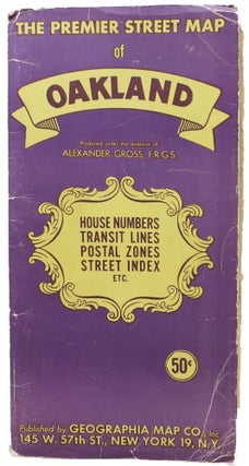
The PREMIER STREET MAP Of OAKLAND And Vicinity, Featuring Transit Lines and House Numbers.
New York: Geographia Map Co. Ca 1940s. Single sheet, printed in colors, recto only, folded into 27 panels. Unfolded: 27" x 40-1/8". Folded: 9-1/2" x 7/8". Housed in publisher purple & yellow paper portfolio. Map shows postal zones, main auto routes, railroads, and motor coach and street railway lines. Also..... More